 Getech, providers of natural resources exploration data and expertise, have released a new Regional Report Online.
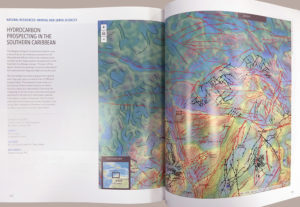
The Report uses a Story Map to summarise an assessment of the potential effects of the end-member plate models on the hydrocarbon prospectivity of the Southern Caribbean margin, and has been included in this year’s Esri Map Book.
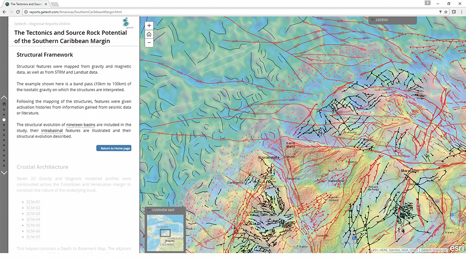
The featured part of the Getech Regional Report shows the geologic structure interpreted from gravity and magnetic data across the area.
Structural features were mapped from gravity, magnetic, Shuttle Radar Topography Mission (STRM) and Landsat data.
The example shown is a band pass of the isostatic gravity on which the structures are interpreted. Following the mapping of the structures, features were given activation histories from information gained from seismic data and/or literature. The structural evolution of nineteen basins are included in the report, their intrabasinal features are illustrated, and their structural evolution described.

Learn more about Getech’s Regional Reports


