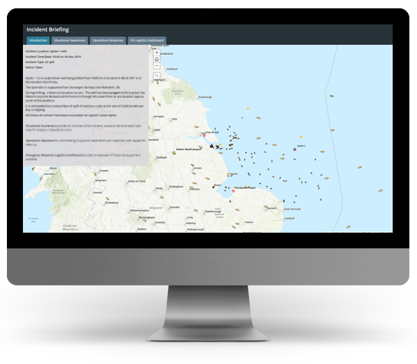
ArcGIS Common Operating Picture
Incident planning and response made easy

A single authoritative source on information
Integrate in-house, vendor and public domain data to create a single authoritative source of information using industry best practices from IOGP/IPIECA and Exprodat expertise.
Gather situational awareness
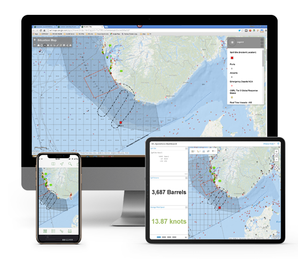
Configure widgets, build dashboards and perform advanced visualisation & analysis to help responders understand what is going on around an incident.
Improve collaboration
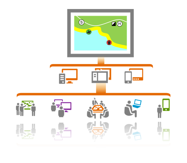
Share up-to-date information with incident responders using fit for purpose apps designed according to Incident Command System (ICS) organisation roles, all accessible anywhere and on any device.
Make better decisions
Empower decision makers to make good, well informed and timely decisions by sharing key information using simple, easy to use applications.
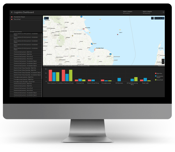
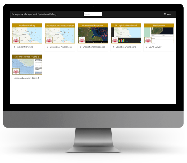
Easily Accessible
Give incident responders a single destination to access maps and apps, grouped in a very simple, easy to understand way.
Ensure Regulatory Compliance
Implement data backup and archiving workflows to create an audit trail for post-incident review, timeline analysis and regulatory compliance.
