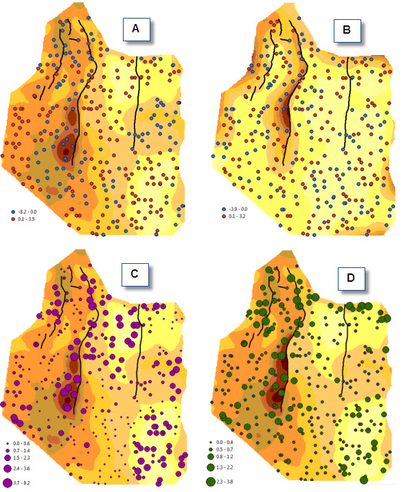
Paola Peroni, a Senior Consultant with Exprodat, will be presenting a paper entitled “ArcGIS Geostatistical Analyst versus G&G Applications: Contour Mapping of Geological Variables” at the 2010 ESRI International User Conference in San Diego, CA, on 13th July, examining how ArcGIS tools compare with established industry mapping packages for 2D contour mapping.
The following information is taken from the paper’s abstract:
“Exploratory Spatial Data Analysis, interpolation and evaluation of uncertainty are tasks geoscientists use to derive continuous surfaces from discrete data. G&G packages offer a variety of tools to support data analysis and the interpolation of complex datasets, and are widely used for advanced 2D and 3D modelling. Most GIS packages also include tools which can be effectively used for modelling continuous variables, particularly in a 2D environment.

The role GIS can play in E&P workflows which are considered the “realm” of G&G applications is the basis of a project carried out with the aim of exploring and comparing the 2D contour mapping functionality available in standard G&G packages with that available in ArcGIS Geostatistical Analyst, and to define workflows where ArcGIS provides a viable alternative to G&G applications for ESDA, interpolation, estimation of uncertainty. A Functionality Matrix summarises the results, scoring elements such as criticality, competence, ease of use.”
To find out more please come to Room 28 C at the 2010 ESRI International User Conference on 13th July, at 10:15 am. For more information on the conference please see ESRI’s International User Conference website.


