In the plenary session of Esri’s PUG Conference 2011 they showed a video from Anadarko discussing GIS and introducing their ‘iMaps’ web-based GIS solution. In the video Anadarko explained that their philosophy was to provide ArcGIS Desktop for GIS-savvy users, and the web-based GIS ‘iMaps’ for basic use across the enterprise.
Choosing the right tools across the enterprise
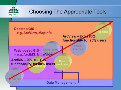
Nothing new in that, really – at Exprodat we’ve been advocating a similar approach for as long as we’ve been working with GIS. For a slice of (pre-ArcGIS Server) Exprodat history check out the slide below from c. 2004 – nice colours!

However, Anadarko then mentioned that they saw a requirement for a third level – for those people who needed more than iMaps could deliver but who couldn’t handle ArcGIS Desktop. Their suggestion was to use ArcGIS Explorer Desktop (AGX). I thought it was a pretty interesting idea, and the extensible framework that AGX provides would certainly allow them to add custom functionality to it (such as our own AGX add-in for extruding data in 3D via KML).
ArcGIS Explorer presentation
Coinidentally I’d been thinking about putting together an eye-catching display to run during trade shows. I wanted to replace the rather uninspiring PowerPoint slide shows that we’d been using, so I decided to try building an AGX presentation as an excuse to look at the latest version at that time, v1500.
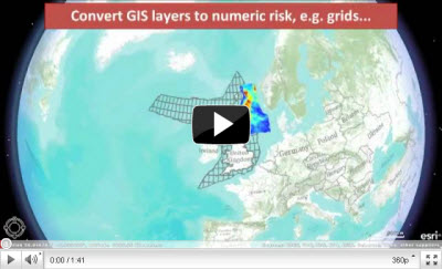
In just a few hours I put together an AGX presentation showing some of the outputs produced by our software tools, and, in conjunction with Camtasia Studio, created a video presentation called Viewing Exprodat software results in ArcGIS Explorer.
During the process I noticed a few things about AGX which I’ll just mention briefly in case anyone else wants to try to create a similar presentation:
- Anadarko suggested that users new to AGX would probably require some training, and I agree. It’s not 100% intuitive across the board and has a few eccentricities.
- AGX appeared to occasionally drop layers from my presentation, meaning I had to reload them and recreate some presentation ‘slides’.
- I found it confusing that the ‘show popup’ tool (equivalent to ArcGIS Desktop’s Identify tool) sometimes wasn’t available to me, depending on the format of layer I was using.
- AGX seems prone to the odd crash, mostly when trying to display larger data layers like the rasters I was using. It did this even when I wasn’t using any of the basemap services. However, I got round this by continually saving my project and studiously re-caching everything before I started the presentation.
In summary, and as I hope my own movie demonstrates, if you want to put a cool GIS presentation together then ArcGIS Explorer is well worth a look.
Posted by Chris Jepps, Technical Director, Exprodat.


