As we have just released version 3.1 of Unconventionals Analyst for ArcGIS Pro, I’d like to highlight some of my favorite new features so you can check them out when you install the new version…
1 – Creating Gun Barrel Diagrams
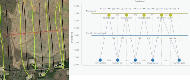
Our customers are always looking to increase efficiency – with that in mind the new release contains the ability to easily create a Gun Barrel diagram using the wells and surfaces in your map.
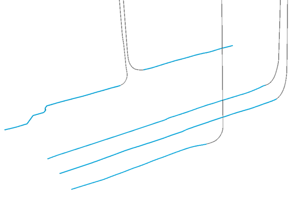
The new Create Gun Barrel Plot tool allows you to interactively draw a cross-section line across your key wells. Measuring true spacing between multiple wells and multiple benches alongside intervals such as structural grids allows you to better understand the relationships between production data, well spacing and stratigraphic intervals.
With the tool you can make dog-leg sketch lines, produce ‘to scale’ or ‘schematic’ versions, choose 2D or 3D spacing measures and easily save your settings. The customization options allow you to make the gun barrel diagram that you want to, with no more manually drawing them in PowerPoint!
2 – Creating DSUs
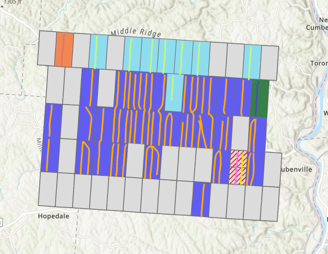
We take pride in listening to our customers and being responsive to their evolving requirements, as such here is another customer request that we’ve implemented. Manually drawing drill spacing units (DSUs) can be tiresome, boring and inaccurate. Overlapping boundaries can easily transfer to your well inventory planning causing errors and inefficiencies, so we’ve created a tool to alleviate that pain. Use the Create DSUs from Wells tool to quickly take a set of wells and create useful drill spacing units from them. After some quick manual QC and edits and you have something ready to go off for inventory calculation in our Create Well Sticks tool.
3 – Calculating Working Interest
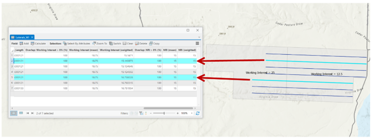
How often have you had a land layer or set of leases with working interest (WI) and net revenue interest (NRI) figures, and you need to know how these translate to your actual well sticks? Our customers tell us this happens a lot. To help, we created a tool that calculates mean and length proportional working interest, net revenue interest or any other numerical attribute per well feature – based on where the well is located.
4 – Enhanced Create Pads for Well Sticks tool
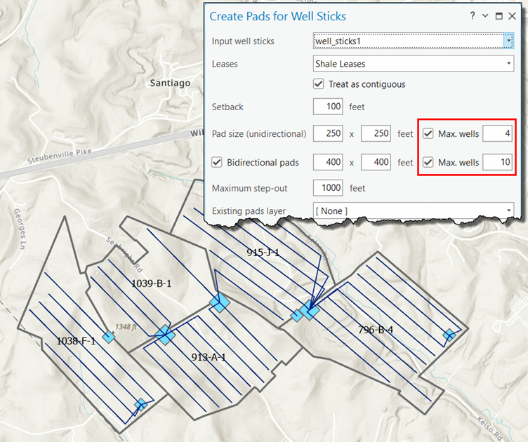
In response to your suggestions, we’ve enhanced the controls on our Create Pads for Well Sticks tool. Previously, there was no user control on how many wells could be joined to a modelled well pad. Now we’ve added a new control that allows you to limit the number of wells that can be attached to each type of pad. Unidirectional and Bidirectional pads have independent controls allowing you to really customize your well pad plans.
5 – Enhanced Trim Head methods
Finally, we’re always looking for ways to improve any pre-existing tools. With that in mind, we’ve added new methods on how trim those complex uphole sections to your wells so that you can concentrate on analyzing the producing lateral sections of your wells.
These new methods are applicable to Z-aware 3D line feature classes and can trim each well feature by:
Depth – This option trims the well by the selected depth value, e.g. 3000 feet will trim the part of the well that is shallower than 3000 feet.
Raster – This option trims the well at the point it crosses the selected raster. The Offset option allows the tool to place that point above or below the selected raster.
Gradient – This option models the heel of a well by trimming the well at the point a selected gradient value is exceeded. The Step tolerance option allows the tool to ignore changes in gradient that only occur over smaller intervals, e.g. a well being geo-steered from one bench to another would have a step of higher gradient across a shorter interval.
We hope you enjoy the new version – please let us know how you get on and keep your enhancement requests coming!
Posted by Rich Webb, GIS Software Product Manager, Exprodat
